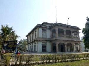
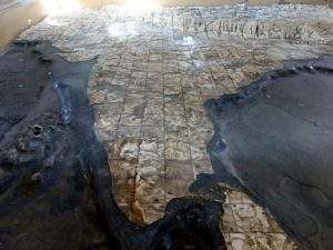
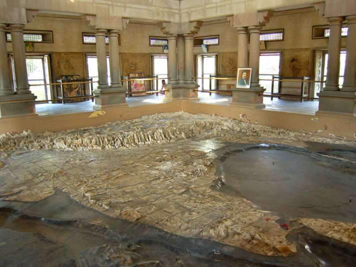
India, the land constituting various temples, churches, and mosques, is known for the devotion in many religions. And what is more special about our country is that we treat our nation with devotion too. And which is why we call India as Bharat Mata (Mother India). What most of the people do not know is about a temple for Bharat Mata which has been constructed in the early 19th century in Varanasi, The Spiritual Capital of India. Here we bring you the facts about the Bharat Mata Mandir, the one of its kind in the world which comprises a giant, undivided India Map, carved on marble.
 Location and history
The temple is located on the campus of Mahatma Gandhi Kashi Vidyapith in Varanasi of Uttar Pradesh and constructed by Babu Shiv Prasad Gupta between 1918 and 1924. The temple was inaugurated by Mahatma Gandhi on 24 October 1936.
Construction
The whole Mandir is built out of stone and the giant undivided India Map inside the mandir is built of marble. Under the guidance of Durga Prasad Khatri, 30 workers and 25 masons worked for 6 years and their names are carved in one corner of the temple.
Facts
Unlike other temples, Bharat Matha Mandir does not comprise of idols of any goddess but consists of an Indian Map which also constitutes Afghanistan, Baluchistan, Pakistan, Bangladesh, Burma (now Myanmar) and Ceylon (now Sri Lanka) on Makrana marble. The map portrays the Himalayan ranges including Mt. Everest and K2 peaks, the oceans, rivers, and plateaus on precise. The scale and depth are also mentioned alongside.
 On the eve of Independence Day and Republic Day every year, the land area in the map is decorated with flowers and the water bodies are filled with water. One each on the map is equal to 6.49 miles and from a lower window in the ground level, one can witness the different of heights among the peaks.


Discussion about this post