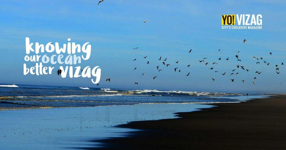

Have you ever stared at the ocean and felt like a miniscule particle in the big world? Doesn’t the largesse of our oceans come through every time you look at the waters? But how well do we know about our stretch of the Bay of Bengal? This month our feature writer Jaya Siva Murty interacts about the deep blues with Dr. VS Murthy, Chief Scientist in Charge at the National Institute of Oceanography.
“The NIO is a part of the Council for Scientific and Industrial Research (CSIR) and is headquartered in Goa. Operations in Vizag began in 1976, and since then we are one of the four regional centers that study the oceans. While we work on water pollution, coastal oceanography and oil exploration, our main work in Vizag involves working with industries and checking that they are using safe methods of waste disposal through pipelines. As the authorized nodal agency, we do a bathymetry test (depth analysis), check pollution levels, provide treatment measures, ensure that waste discharged into water is suitably treated, that the pipes they use to discharge waste are of the correct make, length and diameter and whether the temperatures of the effluents are within limits. We also work with the AP Pollution control board too in this regard.”
Pollution along our coast
“Though industries are growing, the pollution levels of our coastal waters are within limits, making them safe. The port area is however polluted, due to lesser flow of water. The main reason for low pollution levels are the north-south currents our ocean enjoys. Moving currents push pollutants away, keeping the shores clean. Also because industrial effluents are treated and then sent into water, we are able to keep a check on that as well. What however needs attention is the sewage entering our seas. While a sewage treatment plant has been set up at Lumbini Park by VUDA, there are many unchecked regions where sewage directly enters the ocean.”
Flora and fauna
“Seas are home to plankton, which are the first element on the food chain. These tiny plants, which aren’t visible to the naked eye also generate the maximum amount of energy and provide most of the oxygen for our planet. Pollution can kill this plankton and thereby affect the food chain. Along with chemicals, this pollution may be in the form of oil spills that form a film on the water. It can also occur from plastic which breaks up into microplastic and is absorbed by the plankton and then swallowed by fish, thereby killing them.”
Changes in the ocean
“Over time, the ocean has shifted forward. Due to this, beach erosion has led to much of our sand being under water, and constantly shifting. This means that while you may find a flat beach on one section, it could leave a deep gap into which people can fall.”
Precautions before venturing into water
“Our coastal currents undergo weekly, sub-seasonal, seasonal and inter-annual shifts. The currents gain strength with seasonal change. That coupled with a rocky shore and strong rip currents make our beach unsafe. So, I’d recommend people only to dip their feet in water and not beyond. Once it’s beyond knee deep, it can get dangerous and strong currents can pull people inside. We’re also in the process of doing a detailed study on the factors behind drowning which seems to be higher along the Rushikonda beach.”
On adventure sports
“We need to understand that our oceans are much rougher than the stretch at other places like Goa which is sandy and calmer. To understand this, look at our beach during a low tide. In order to take up Ocean sports, we need to take into account factors such as high and low tide, the water depth, seabed and currents. Detailed studies in this regard need to be done before making the sport accessible to public.”
A word of advice
“Be very cautious near the beach and don’t venture even into knee deep waters. I’d also suggest newspapers to carry information regarding tide times just like they carry information on sunrise and sunset times. Putting up display boards near popular beaches that tell timings for high tide and low tide may be useful too. GVMC has put up no swimming zone boards, and I request people to abide by that. Towers are also being planned along the beach and will allow us to know our coast better and see the formation of rip currents too.”
This post was last modified on 05/07/2016 7:14 am
In a major push toward sustainable public transport, EKA Mobility has secured a contract to…
There are a variety of new movie and web series releases today on our favourite…
The survival trope in movies and television shows is one of the popular genres, attracting…
For months now, the mayor’s chair in Visakhapatnam has been making headlines. From no-confidence motions…
In an incident that has left residents unnerved, a "naked thief" was caught on CCTV…
Kanchumurthi Eswar, a member of the Zonal Railway Users’ Consultative Committee (ZRUCC), has urged Divisional…
Leave a Comment