With so many beautiful landscapes in Vizag, it’s only natural that the city houses so many photographers. These photographers constantly cover the expanse of Vizag and share awe-inspiring pictures and videos. Social media has been a great tool that has helped these pictures travel and reach the masses of the city.
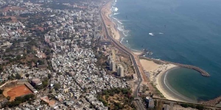
One kind of image that is popular in the city is the aerial/drone shot. A lot of photographers in the city employ drones to capture some beautiful overhead shots of the city. From the city’s popular areas like Jagadamba Junction to RK Beach, nowhere is left out.
Here we are, sharing some beautiful aerial pictures of Vizag that will soothe your eyes:

This picture beautifully illustrates why we love Vizag. In this city, roads have to carve their way from between the hills, giving travellers an exciting view of the valley.

Divis bridge is one of the popular tourist spots in Vizag and this image just shows why. You get an overhead shot of this unique bridge and the blue sea around it.
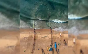
Vizag being a coastal city, plenty of people here look at the sea as their source of livelihood. These fishermen and fisherwomen are at the sea day in and day out, trying to earn their daily stock of fish. One such moment of sea fishing was captured in this drone shot, with the fishing net forming a necklace-like shape in the sea.
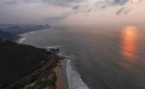
Beach Road is one of the best places in Vizag to catch the beauty of the city. The stretch from MVP Colony to Visakha Valley is built in such a way that it is called by some as the S Curve of Vizag. Here is that curve and the MV MAA ship in this image (if you look closely, you can see it).

It is said by some that if you haven’t visited Yarada Beach in Vizag, you have missed out on something truly heaven-like. This aerial shot of the sandy shores of Yarada does justice to the mesmerising beauty of this beach.
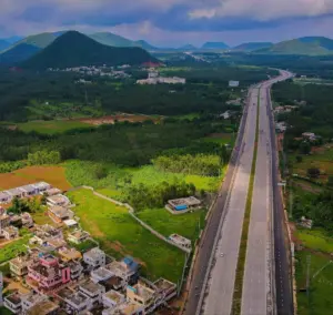
One of the latest roads built in Vizag, the Anandapuram-Anakapalle highway has had the whole lot of photographers flocking to it, capturing images of the fresh tar and the valley affront. Here’s one such aerial shot which shows how this highway navigates its way around the many hills in this area.




Discussion about this post